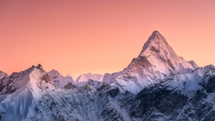
Geologically, the Himalayas stand as the most impressive natural monument on our planet Earth. Its snow-capped mountain peaks and majestic valleys tell a story that spans millions of years. Beneath this peaceful mountain range, there is something invisible that has geologists scratching their heads: thanks to modern technology, geologists are receiving clear signals that the history of the Earth is being rewritten in real time. The Indian plate, which created this mountain range, is not only continuing to push, but could be—right now—tearing apart at a depth of more than 100 km.
The secret of the Himalayas’ height
To understand how these mountains were formed, we need to consider some basic geology and all the seismic risks that plague the region. Sixty million years ago, India was a large mobile island. When it collided with the Eurasian continent, the impact was so brutal that the Earth’s crust bent, creating Tibet and the Himalayas. For our planet, tectonic plates are nothing more than sheets of paper with which it plays origami.
Believe it or not, this movement has not stopped, but the Himalayas (even today) continue to grow millimetre by millimetre in a process that resembles a slow-motion film. The fact is that 1,000 years is a second in geological terms.
For decades, scientists have debated what really happened to the Indian plate once it disappeared under Tibet. Some hypotheses suggested that it simply slides horizontally (underplating), as if we were pushing a carpet under a sofa. Other geologists believed that, being so dense, the entire plate sinks directly into the Earth’s mantle (subduction). Thanks to modern technologies and tools, they have been able to reveal a third option that includes a crucial internal fracture.
The Indian Plate
Yes, everything indicates that the Indian plate seems to be splitting into two layers as it moves underground. This phenomenon is known as lithospheric delamination. This plate contains two parts of different ages: the upper layer is the continental crust (light and buoyant). It continues to slide horizontally under Tibet and contributes to the continuous rise of the plateau. On the other hand, there is the lower layer, composed of the lithospheric mantle, which is much denser and heavier.
This heavy proportion is what is detaching from the upper crust. Once detached, this lower layer falls almost vertically into the depths of the Earth’s mantle. Not only that, but the data collected by geologists also suggests that it is undergoing a vertical tear along the plate. This is a ‘slab tear’, a lateral fracture that separates the portion that is sinking from the portion that is still intact. Geologists suspect that when the Indian plate collided with Eurasia, it began to break away unevenly from within, causing the layers to separate.
How can geologists see all this?
How is it possible to see what is happening kilometres deep inside the ground? The answer lies in using seismic analysis and geochemistry. To do this, there are hundreds of seismic stations distributed throughout Tibet, which function as a tomography scanner for our planet. They analyse seismic waves, how they travel and refract through underground rocks. This allows them to construct a three-dimensional image, revealing sharp boundaries and underground blocks. These indicate that there is a separation of the crust and a vertical sinking of the base of the plate.
On the other hand, scientists also analyse the gases emitted by 200 natural hot springs in southern Tibet. There they analyse the concentrations of Helium-3, a rare isotope that originates almost exclusively in the deep mantle. The presence of this gas on the Earth’s surface means that the plate is becoming so fractured that hot magma is rising to fill the space created by the tear. With these two methods—the study of seismic waves and the study of Helium-3 isotopes—geologists can get a fairly complete picture of what is happening underground at this very moment.

